
Ashgill Force
Geology
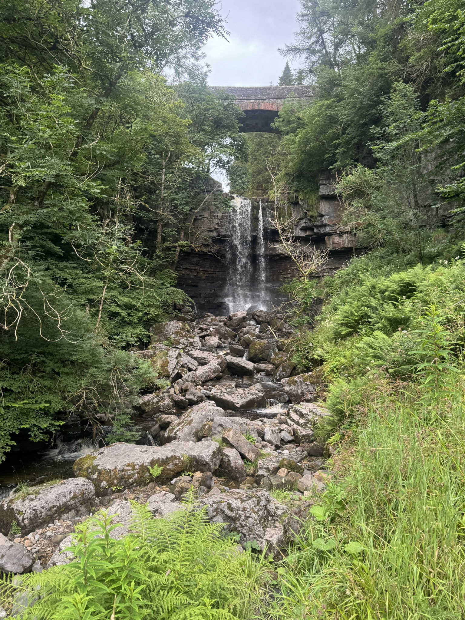
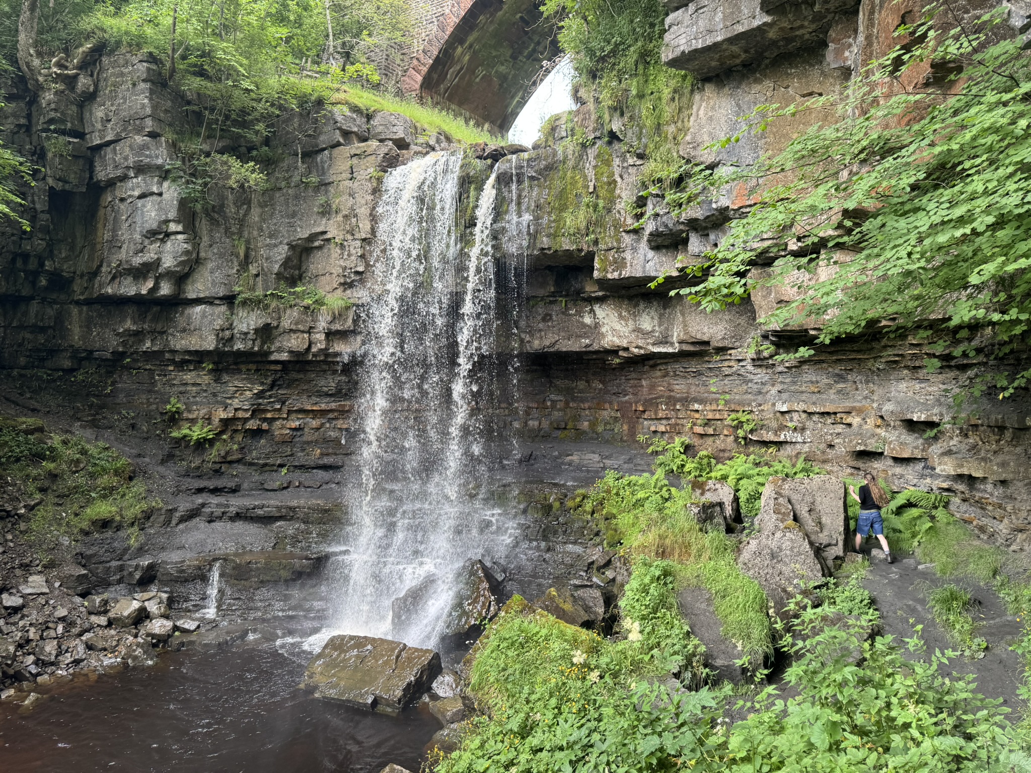
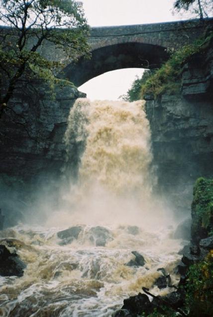
Ashgill Force falls where the South Tyne River breaks through the Scar Limestone. The limestone rests on softer shales that are more easily eroded and creates the undercut behind the waterfall (the undercut is similar to that at Gilbert’s Cave).
Etymology
Force is an evolution of the Old Norse foss for waterfall.
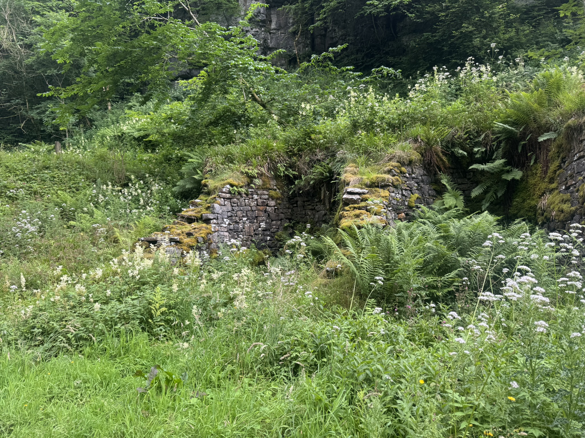
Ashgill Force Level
Part of the Ashgill Fields Mine, a lead mine operated from 1818 to 1882.
Waterfall
References
Ashgill from Garrigill Geotrail - North Pennines National Landscape